Overview
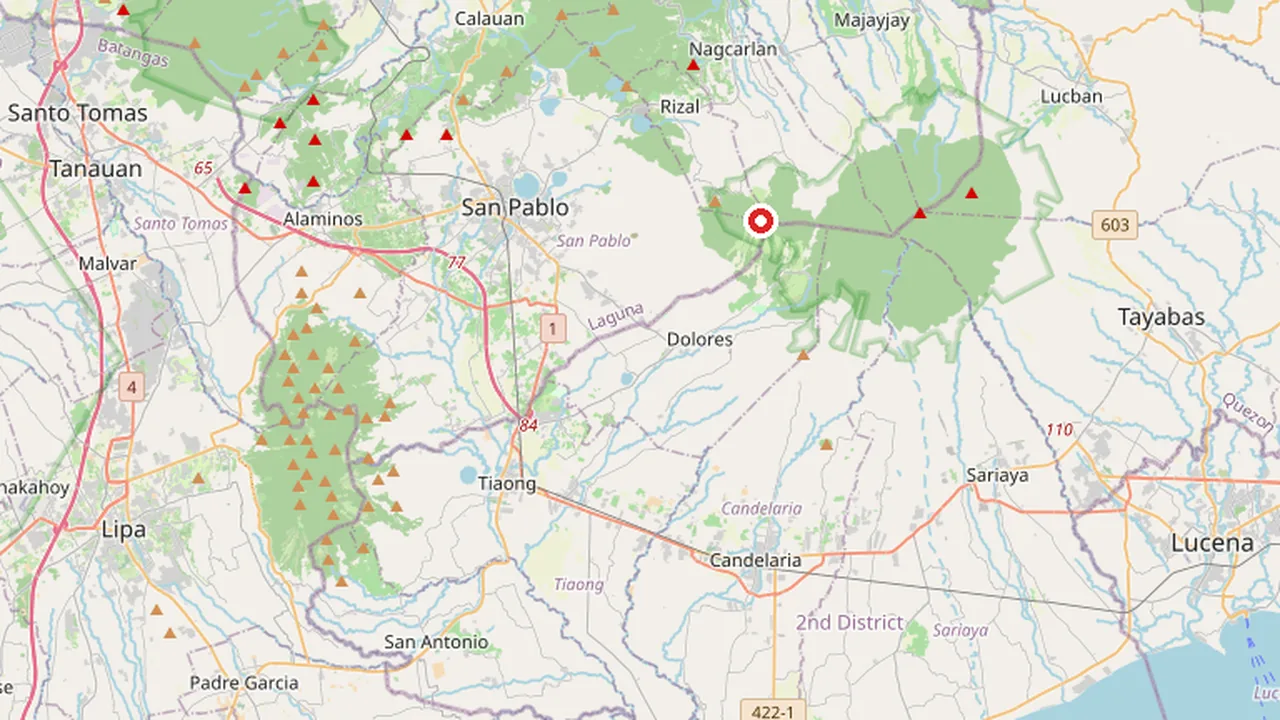
Mount San Cristobal is a potentially active stratovolcano situated at the boundary of the provinces of Laguna and Quezon on the island of Luzon in the Philippines. The mountain rises to an elevation of 1,470 m (4,820 ft) above mean sea level, making it a prominent geological feature in the Calabarzon region. It is one of the key volcanic features of the Macolod Corridor, a volcanic arc that stretches across the southern part of Luzon. The volcano's location places it within the municipalities of San Pablo in Laguna and Dolores in Quezon, serving as a natural dividing line between these two administrative areas.
As a stratovolcano, Mount San Cristobal is characterized by its conical shape, formed by many layers of hardened lava, tephra, pumice, and volcanic ash. Its status as "potentially active" indicates that while it has not erupted in recent historical memory, it retains the geological potential for future volcanic activity. This classification is monitored by the Philippine Institute of Volcanology and Seismology (PHIVOLCS), which tracks seismic activity, ground deformation, and gas emissions from the volcano. The Macolod Corridor, which includes Mount San Cristobal, is part of the larger Luzon Volcanic Arc, a chain of volcanoes that runs along the western coast of Luzon. This geological setting contributes to the region's rich mineral resources and fertile soils, supporting agriculture and local economies in Laguna and Quezon.
The coordinates of Mount San Cristobal are approximately 14.1167° N, 121.4833° E, placing it in a region known for its diverse ecosystems, ranging from lowland forests to montane habitats. The volcano's slopes are covered with vegetation, including secondary forests and agricultural lands, which provide habitat for various species of flora and fauna. The area around Mount San Cristobal is also of interest to geologists and volcanologists due to its role in understanding the tectonic activity of the Philippine Mobile Belt. The interaction between the Philippine Sea Plate and the Sunda Plate creates the complex geological environment that gives rise to volcanoes like Mount San Cristobal. Despite its potentially active status, the volcano has not experienced a major historical eruption in recent centuries, making it a subject of ongoing study to assess its future volcanic behavior.
Geography and Volcanic Characteristics
Mount San Cristobal is a stratovolcano located on the island of Luzon in the Philippines. It is classified as a potentially active volcano, situated at the boundary between the provinces of Laguna and Quezon. The mountain stands at an elevation of 1,470 m above mean sea level. This peak is one of the key volcanic features that constitute the Macolod Corridor, a significant geological structure in the region. The volcano's location places it within the municipalities of San Pablo and Dolores, marking the administrative divide between the two provinces.
| Geographic Data | Value |
|---|---|
| Entity Type | Volcano |
| Region | Luzon |
| Province | Laguna, Quezon |
| Municipality/City | San Pablo, Dolores |
| Coordinates | 14.1167, 121.4833 |
| Elevation | 1,470 m |
| Status | Potentially active |
Macolod Corridor Context
The Macolod Corridor is a distinct volcanic feature in the Philippines, and Mount San Cristobal is identified as one of its primary components. This corridor represents a complex of volcanic structures that have shaped the topography of the area where Laguna and Quezon meet. The classification of Mount San Cristobal as a stratovolcano indicates a conical mountain built up by many layers (strata) of hardened lava, tephra, pumice, and volcanic ash. Its status as potentially active suggests that while it may not be currently erupting, it retains the geological potential for future volcanic activity, distinguishing it from extinct volcanoes in the broader Luzon volcanic arc.
Why it matters
Mount San Cristobal holds significant ecological and cultural value as a defining component of the Mounts Banahaw–San Cristobal Protected Landscape (MBSCL). This protected area spans the boundary between Laguna and Quezon provinces on the island of Luzon, preserving the volcanic features of the Macolod Corridor. The mountain’s status as a potentially active stratovolcano underscores its geological importance, contributing to the biodiversity and landscape integrity of the region. Its elevation of 1,470 m above mean sea level makes it a prominent landmark in the Central Luzon volcanic arc, influencing local microclimates and watershed dynamics that support surrounding communities in San Pablo and Dolores.
Cultural Contrast with Mount Banahaw
While Mount Banahaw is widely recognized for its intense spiritual and mystical associations, Mount San Cristobal offers a contrasting cultural narrative. Banahaw is often depicted as a center of folk religions, healing cults, and mystical retreats, drawing pilgrims and seekers from across the Philippines. In contrast, Mount San Cristobal is less defined by organized spiritual movements and more by its natural serenity and ecological significance. This distinction highlights the diverse ways in which local communities engage with volcanic landscapes in the region. The cultural narrative of San Cristobal emphasizes conservation, hiking, and the appreciation of natural heritage, providing a complementary perspective to the more mystically charged identity of its neighbor. This duality enriches the cultural landscape of the Mounts Banahaw–San Cristobal Protected Landscape, offering visitors and researchers a broader understanding of the socio-cultural dynamics surrounding these volcanic peaks.
See also
- Mount Negron: Geography, Climate and Volcanic Status in Pampanga
- Mount Tabayoc: Geography and Significance in Benguet
- Mount Balungao: Inactive Volcano and Geothermal Landmark in Pangasinan
- Carlota Island: Geography and History in Banton, Romblon
- Mount Diwata: Volcanic Range, Mining History and Biodiversity in Mindanao